Cemetery Management (Cemetery software)
Municipality have cemetery management necessities. In that case, they have administration, civil and even legal responsabilities. Cemetery management is all the more tricky that it has to consider the accumulated data since middle XIX century.
GEOSIGN makes it skills available to you by using tools which could prevent management errors. paper or computer solution, these tools are simple, accurate and easy to update.
Cemetery maps :
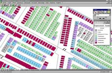
Based on a detailed site survey, the maps are precise and endow with a specific legend adapted to the cemetery management. Numbering, kind of gravestone, state, term of concession...etc give in the same time a global and a precise view of the cemetery and easily share it.
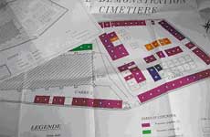
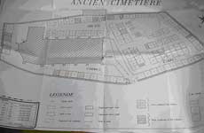
Concessions register, Buried register:
In order to prevent mistakes, cemetery data must be linked each other. Our skills permit to find the entire data, thanks to a record search or a field search, and then delivered like paper register or computer data.

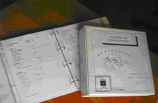
Cemetery software :
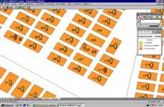
On condition that data base was uploaded, the cemetery software is the perfect tool to assure the link between the three main data of a good cemetery management : the buried name, his concession and the place of it gravestone. The dynamic cartography keep the maps up-to-date without an external maintenance. Whether it's local or online, the cemetery software is easy to use, absolute and intuitive.
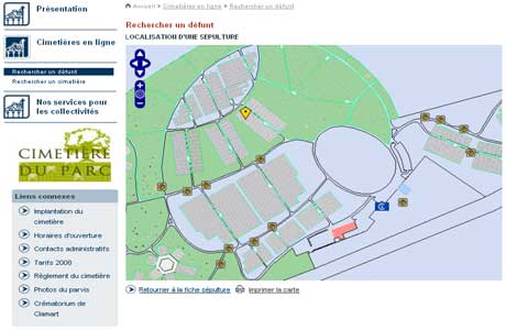
Online cemetery display ( France cemetery ) :
Thanks to this new service, towns can display online all informations concerning their cemeteries : Map, schedule, contacts, gravestone localization by knowing a buried name :a database open to everyone from home !
